Featured letter R tile
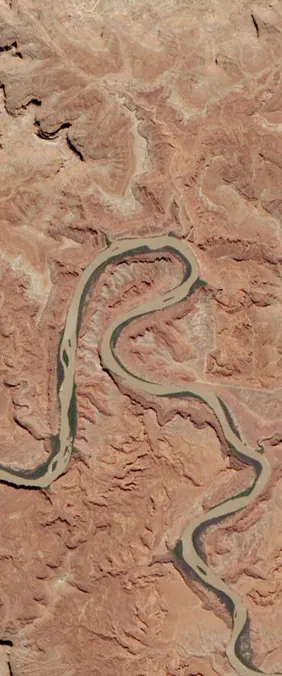
Canyonlands National Park, Utah
38°26'27.8 N 109°45'03.3 W
Letter R combines a vertical stroke, rounded bowl, and diagonal leg, which makes it visually complex in satellite imagery. Explore 4 Landsat satellite image tiles that form the letter R for NASA-style name designs, with location context for comparing each scene against the real-world landscape.
Use R variants to add motion and variety to names that otherwise rely on simple straight letters.
The R tile group includes river, coastal, and canyon scenes with different balances of curve and diagonal shape.
Featured letter R tile
38°26'27.8 N 109°45'03.3 W
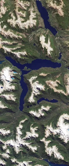
Tile R_0
42°41'14.9 S 71°52'21.7 W
Lago Menendez, Argentina is a Landsat satellite scene used as a letter R tile in the NASA-style name generator.
Related article
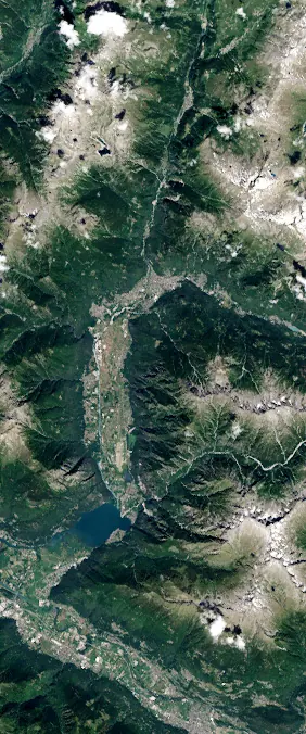
Tile R_1
46°17'38.3 N 9°25'14.5 E
Province of Sondrio, Italy is a Landsat satellite scene used as a letter R tile in the NASA-style name generator.
Related article

Tile R_2
24°45'30.4 N 81°31'53.6 W
Florida Keys is a Landsat satellite scene used as a letter R tile in the NASA-style name generator.
Related article